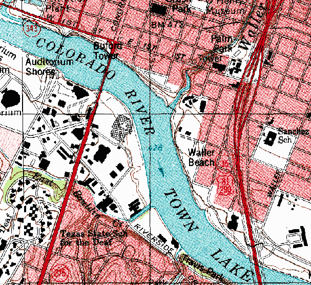
A DRG (digital Raster graphic) is a scanned digital image of a USGS survey topographic map. It is done for computer use. They are normally used in GIS applications. An example of this can be seen above. This is a portion of a DRG of Texas. This can be used in GIS software as a layer because it is georeferenced to the Earth's surface.
No comments:
Post a Comment